

Study Duration
Tow academic years
Degree Type
Diploma
Language of Study
Arabic & English
Program Overview
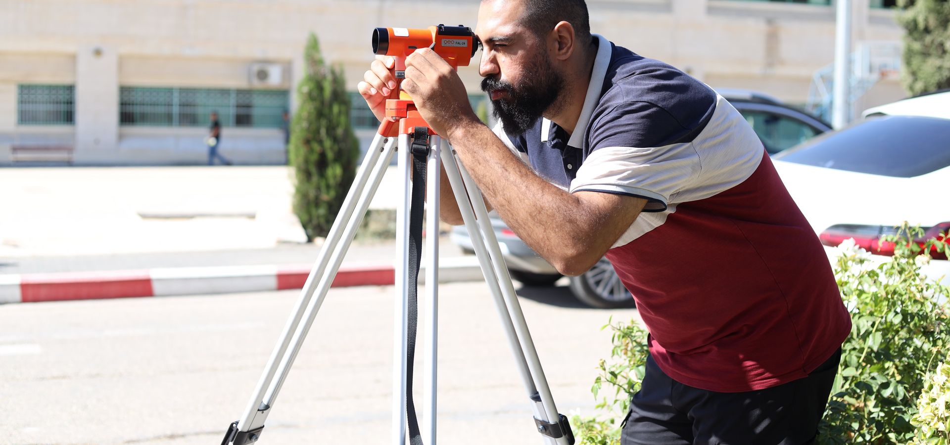
The Surveying and Aerial Surveying program equips students with the theoretical knowledge and practical skills required to use modern surveying instruments and geospatial technologies in the construction and engineering sectors. The program prepares graduates to produce various types of surveying maps, including topographic and detailed maps, stake out engineering projects, calculate quantities, and generate accurate plans for different types of properties.
In addition, the program develops advanced competencies in spatial data analysis and the application of modern technologies for processing digital aerial and satellite imagery. Students gain hands-on experience in precise surveying techniques, photogrammetry, and the use of advanced surveying equipment and software for terrain analysis and high-accuracy measurements. The curriculum also emphasizes the application of Global Navigation Satellite Systems (GNSS) and Global Positioning System (GPS) technologies for positioning, mapping, and geospatial data collection.
Graduate Profile
- Graduates are eligible to continue their studies through the bridge (articulation) pathway at the Faculty of Engineering and Information Technology in a variety of engineering disciplines, including Construction Engineering, Civil Engineering, Geomatics Engineering, Urban Planning Engineering, Architecture, and other related fields.
- After gaining the required professional experience, graduates may apply to the relevant official authorities to obtain a Licensed Surveyor certification.
- The program is delivered by highly qualified academic staff with extensive professional and industry experience.
- Students participate in field visits to surveying companies and professional surveying offices throughout their studies, providing valuable exposure to the labor market.
- The program includes supervised field training, enabling students to gain practical experience and develop additional professional skills before graduation.
- A comprehensive and well-balanced study plan integrates both theoretical knowledge and practical applications, covering all major aspects of modern surveying and aerial surveying.
Graduate Career Fields
Graduates of the Surveying and Aerial Surveying program can pursue careers in a variety of public and private organizations, including:
- Municipalities and Local Government Councils.
- The Palestinian Land and Water Settlement Commission.
- The Palestinian Land Authority.
- The Ministry of Public Works and Housing.
- Private engineering consulting firms and surveying companies.
Admission Requirements
- General Secondary Certificate (scientific, industrial, or vocational stream).